chaty
domain was triggered too early. This is usually an indicator for some code in the plugin or theme running too early. Translations should be loaded at the init
action or later. Please see Debugging in WordPress for more information. (This message was added in version 6.7.0.) in /home/tourtwmg/public_html/wp-includes/functions.php on line 6114insert-headers-and-footers
domain was triggered too early. This is usually an indicator for some code in the plugin or theme running too early. Translations should be loaded at the init
action or later. Please see Debugging in WordPress for more information. (This message was added in version 6.7.0.) in /home/tourtwmg/public_html/wp-includes/functions.php on line 6114wpforms
domain was triggered too early. This is usually an indicator for some code in the plugin or theme running too early. Translations should be loaded at the init
action or later. Please see Debugging in WordPress for more information. (This message was added in version 6.7.0.) in /home/tourtwmg/public_html/wp-includes/functions.php on line 6114wpforms-lite
domain was triggered too early. This is usually an indicator for some code in the plugin or theme running too early. Translations should be loaded at the init
action or later. Please see Debugging in WordPress for more information. (This message was added in version 6.7.0.) in /home/tourtwmg/public_html/wp-includes/functions.php on line 6114Ala Archa and Burana Tower Excursion
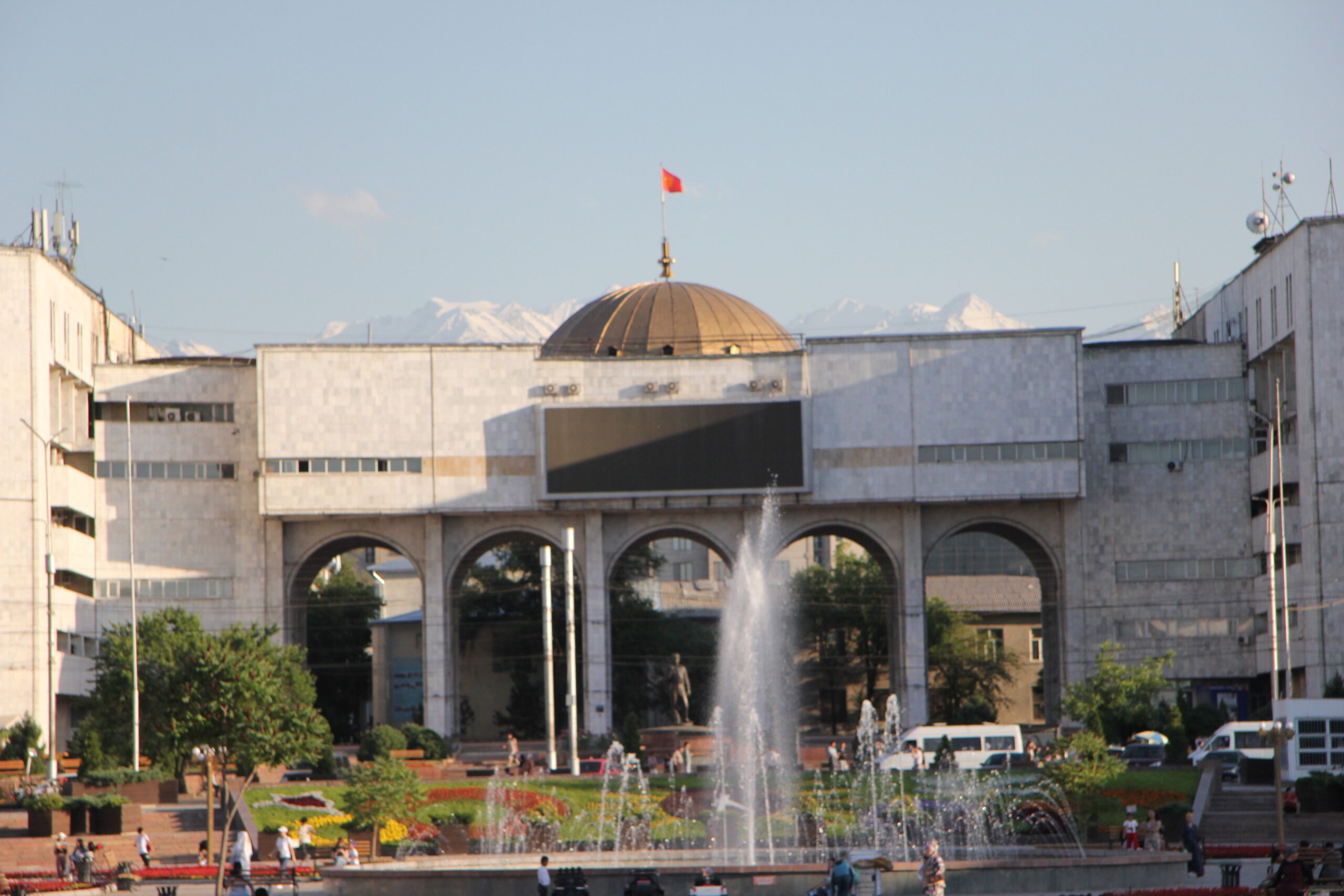
The Ala-Archa Nature Park is an alpine national park in the Tian Shan mountains of Kyrgyzstan, located approximately 35 km south of the capital city of Bishkek Established in 1976, it currently covers 16,485 hectares
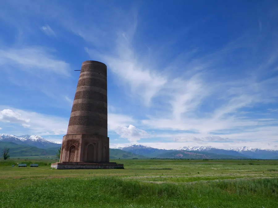
The Burana Tower is a large minaret in the Chüy Valley in northern Kyrgyzstan. It is located about 80 km east of the country’s capital Bishkek, near the town of Tokmok. The tower, along with grave markers, some earthworks and the remnants of a castle and three mausoleums, is all that remains of the ancient city of Balasagun, which was established by the Karakhanids at the end of the 9th century. The tower was built in the 11th century and was used as a template for other minarets. An external staircase and steep, winding stairway inside the tower enables visitors to climb to the top. It is one of the oldest architectural constructions in Central Asia.
Chon Kemin — Bokonbaevo
Chon-Kemin is located 148 km east from Bishkek. It lies between the two branches of the Tian Shan mountain range separating Kyrgyzstan in the south and Kazakhstan in the north. Chon-Kemin is a common name for an area that includes the Chon Kemin valley that turns slowly into a mighty gorge, a powerful river and even a National park with the size of 500 hectares.
Exploring the Area
Bokonbaevo village or Bokonbay, a center of the Tong district, the South Shore of Lake Issyk-Kul. The village was established in 1912 and named Koltsovka.
Fairy Tale Canyon — Osh City
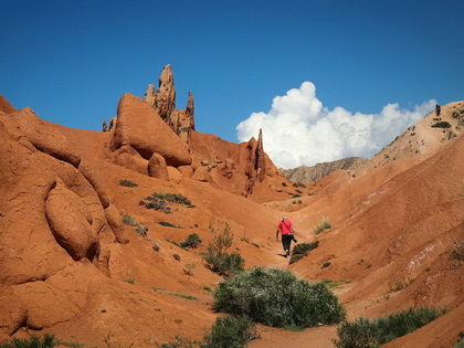
The Skazka canyon or the fairytale canyon is about 1,5-2 km long reddish rock formation at the south side of Issyk kul in Kyrgyzstan. The peculiar forms of the rocks have been slowly created by the erosion of wind and rain resulting in imaginative forms. To have the best out of it it’s best to visit a little bit later in the summer evening to see how the shadows and light change the looks of different formations. If you go during midday or afternoon remember to bring enough water and a hat to cover you from the sun. The air can get very dry and hot in the canyon and the sun reflecting from the bright colored rocks makes it even more hot inside the canyon area.
Osh — Tulparkul lake
Osh is the second-largest city in Kyrgyzstan, located in the Fergana Valley in the south of the country and often referred to as the «capital of the south». It is the oldest city in the country (estimated by UNESC to be more than 3,000 years old) and has served as the administrative center of Osh Region since 1939. The city has an ethnically mixed population of 322,164 in 2021, comprising Kyrgyz, Uzbeks, Ukrainians, Koreans, and other smaller ethnic groups.
Tulparkul lake
Lake Tulpar Kul is the jewel of the Chon-Alai Valley, located in the foothills of the Pamir-Alai. Many mountain lakes are lonely, among the peaks and slopes, but not this lake. It is surrounded by a necklace of small lakes hiding among the hills at an altitude of over three thousand meters. Tulpar Kul is the largest of all.
To get here you have to leave Osh in the direction of the Tajik and Chinese borders. Then you cross Taldyk pass at the height of 3615m. and arrive to the mountain village of Sari Tash, where you have to make a decision: to go to Kashgar; to drive along the Pamir highway to Khorog or to take a look at the Peak Lenin seven-thousanders from the banks of Tulpar Kul or the Base alpine camp.
Tulpar Kul — Murghab
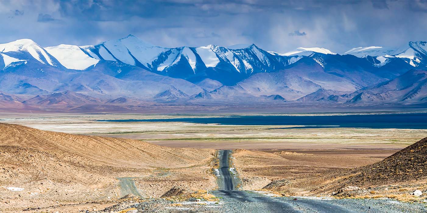
Tulpar Kul — Sary-Tash and cross the border of Kyrgyzstan to Tajikistan through the Kyzylart pass height 4300 meters and stop in the village Karakul for lunch and after lunch walk for 30 minutes near the Karakul lake which is at an altitude of 4000 meters and after the walk we will start to Murghab over the Akbaital Pass, 4,655 meters and arrive at Murghab.
Murghab — Alichur
You will see the local bazaar market and local handicrafts from yak and sheep wool and we leave Murghab on the way I will show you the old Soviet observatory and the Petroglyph and the village of Bashgumboz you will see the old Caravan Shed and the Yak riding for 1 hour and lunch in Yurt after lunch you look at small and clean lake Akbalyk.
Alichur – Langar
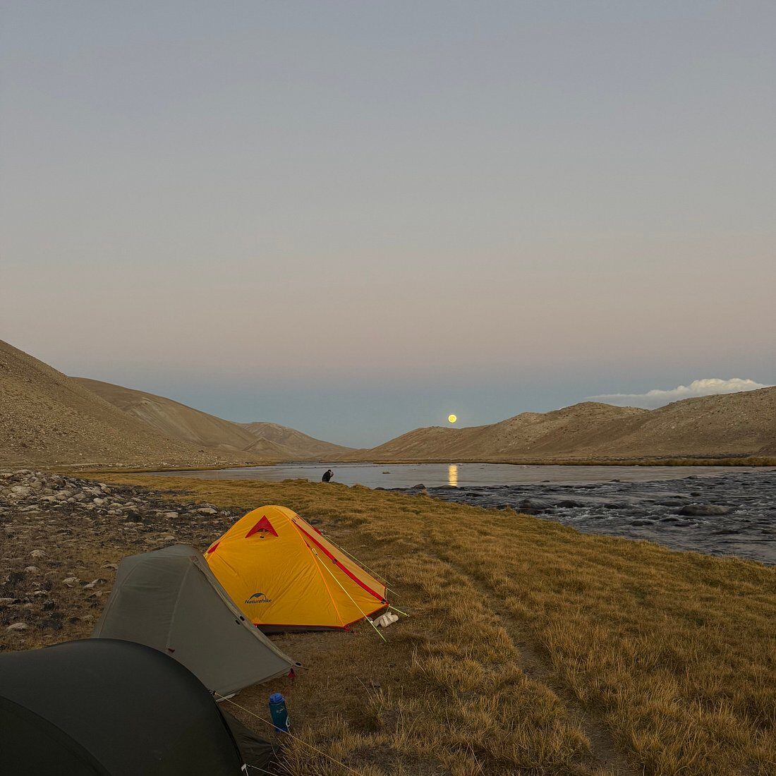
Alichur across the road to the Geyser you will see a geyser and Lake Bulunkul and a very beautiful lake Yashilkul walk on the shore of the lake for 1 hour and lunch the village of Bulunkul in Homestay after lunch we start at Hargush pass and you can go up to the height of 4850 meters to see Hargush panorama for 2 hours and after trekking we will arrive at Wakhan Corridor in the village of Langar
Langar – Ishkashim
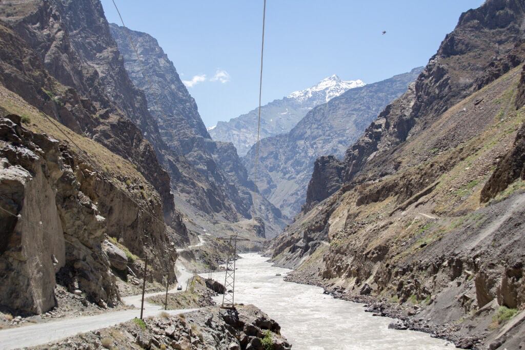
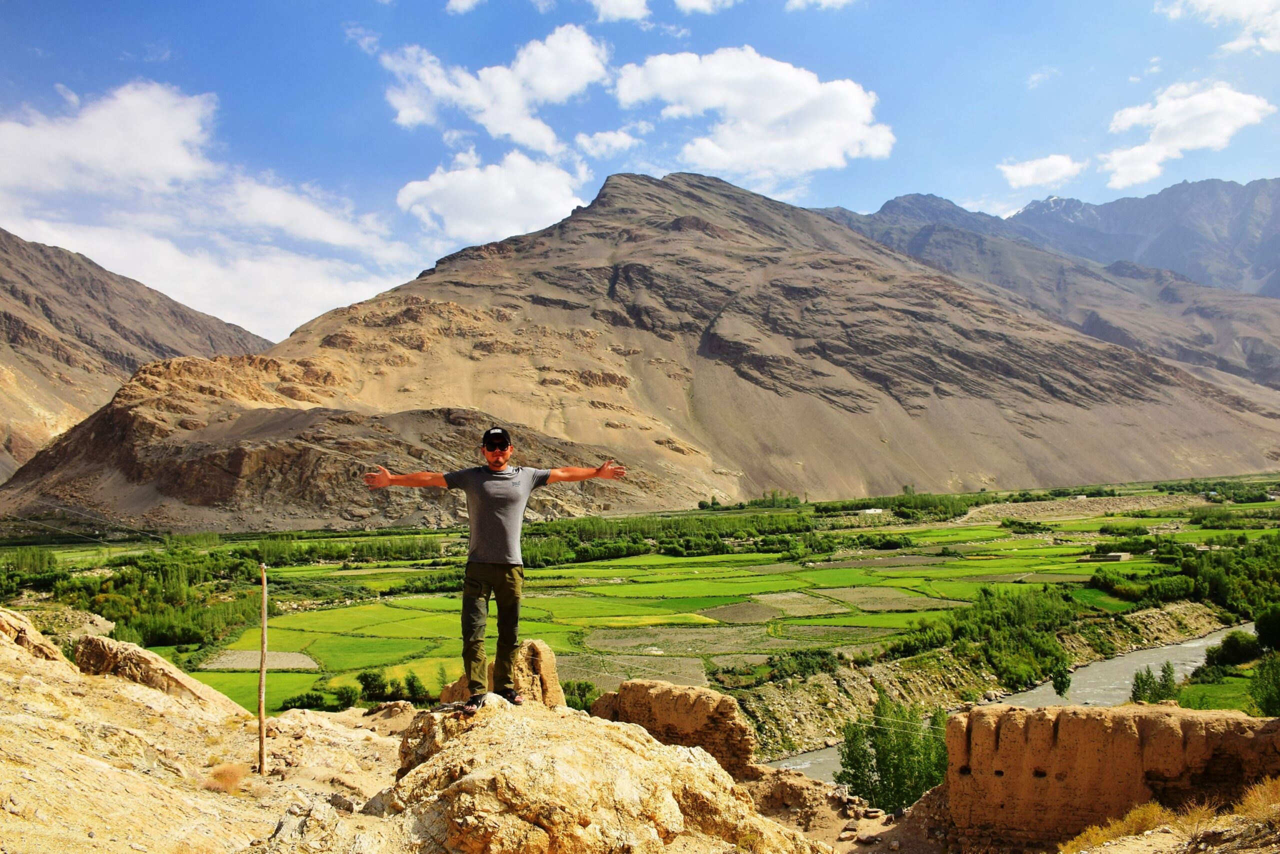
You will see very beautiful nature and interesting places in the Wakhan Valley of Afghanistan, too, after the river Panj. Langar on the way you will see the Buddhist stupa and the museum of the people of Wakhan and the Yamchun fortress and the Bibi Fatima hot spring and lunch. after lunch, in the Wakhan valley, you will still see Fortress Namadgud and we will arrive at the Wakhan centre in Ishkashim.
Ishkashim is a small town approximately 100 km south of Khorog along the Afghan border in the Wakhan corridor. It’s a frequent overnight stop for travelers in the (Tajik) Wakhan, but does not consist of much other than a border crossing to Afghanistan
Ishkashim – Khorog
Ishkashim through the source of Garmchashma and the small city of Khorog
Khorog is the capital of Gorno-Badakhshan, Tajikistan. It is also the capital of the Shughnon District of Gorno-Badakhshan. It has a population of 30,500.
Khorog – Jizev (Treking)
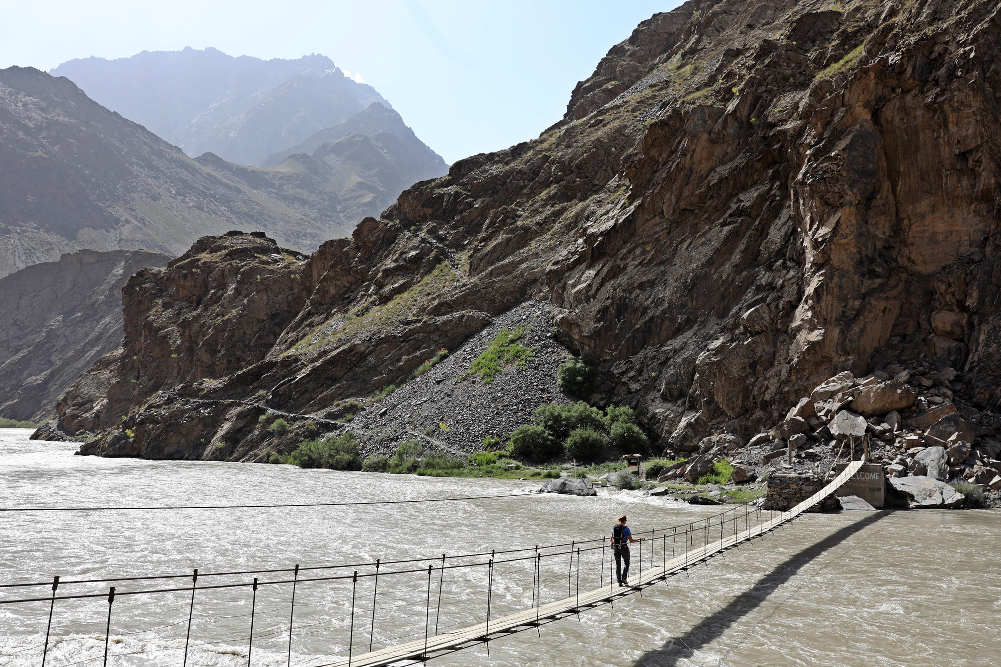
in the morning after breakfast, I will arrange for you to visit the Botanical Garden panorama of Khorog and visit the local Bazaar market. 2.30 hours in total and we will leave Khorog in Bartang Gorge by car to the bridge Jizev and then walk to Jizev village and take 2.30 minutes to sleep, there you are see very beautiful nature and the lake.
Jizev – Kalaykum
From Jizev village you descend back to the bridge. It takes 1.30 hours. I will wait for you at the Jizev bridge and we will leave Bartang valley through the Pamirs highway, have lunch on the way to the road cafe and arrive in the village Kalaykum
Kalaykum – Dushanbe 370 km 6-7 hours.
In the morning we leave the village of Kalaykum through the small town of Kulob and there we have lunch in a cafe and leave Kulob and arrive in the capital of Tajikistan in the city of Dushanbe.
Dushanbe — Samarkand
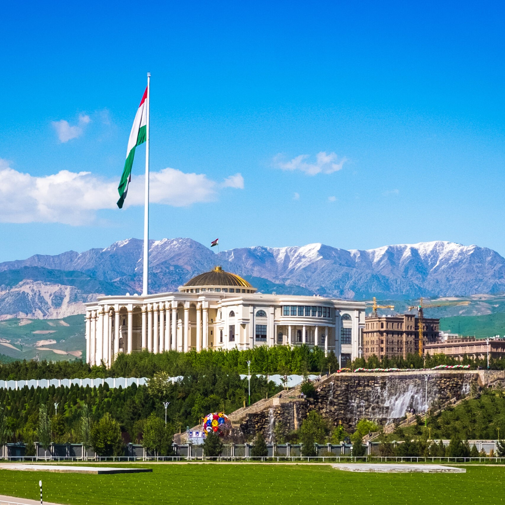
Dushanbe is the capital and largest city of Tajikistan. As of March 2024 Dushanbe had a population of 1,564,700 and that population was largely Tajik. Until 1929, the city was known in Russian as Dyushambe, and from 1929 to 1961 as Stalinabad, after Joseph Stalin. Dushanbe is located in the Gissar Valley, bounded by the Gissar Range in the north and east and the Babatag, Aktau, Rangontau and Karatau mountains in the south, and has an elevation of 750–930 m.
Visit Iskanderkul lake and continue to Panjakent and Samarkand
This tour ends in Samarkand.
What’s included? /Activities
Included Services in the price? / Services
Transport / Transportation
Persons(max 4 people)
Tour map / Route
© 2018-2024 Tourstans All rights reserved.